
Aerial Canopy Surveys, Estate Mapping & Agricultural Media
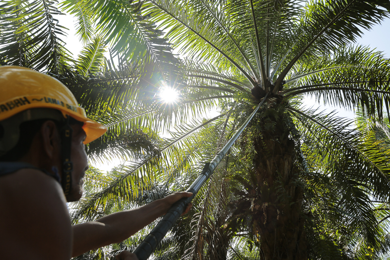
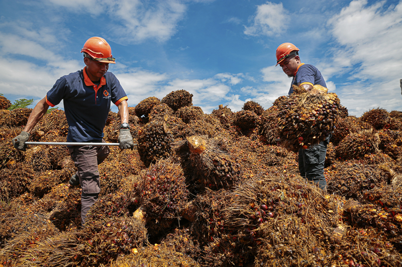
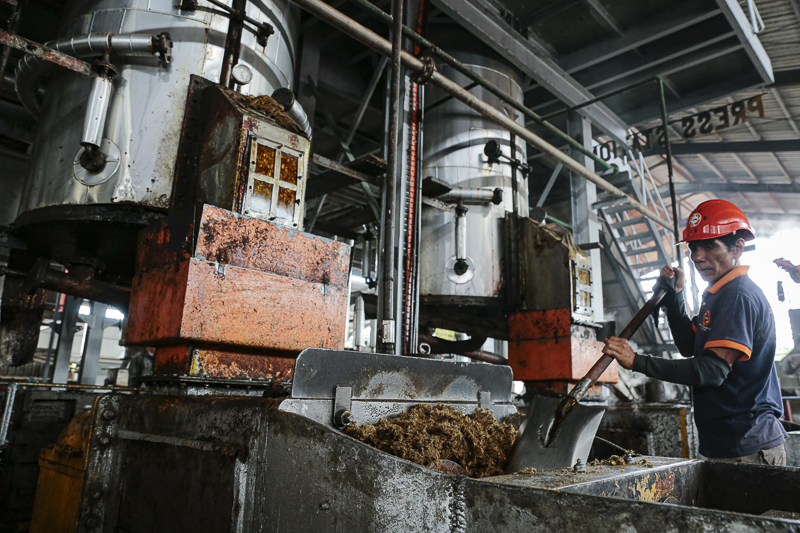
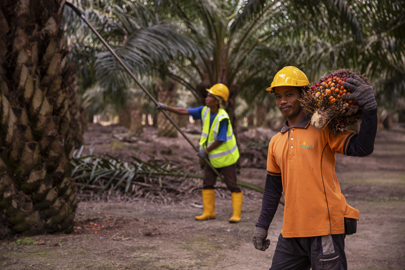
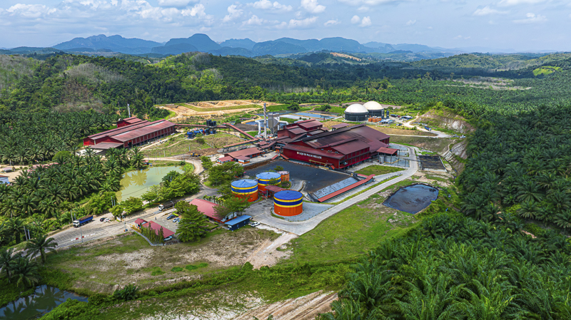
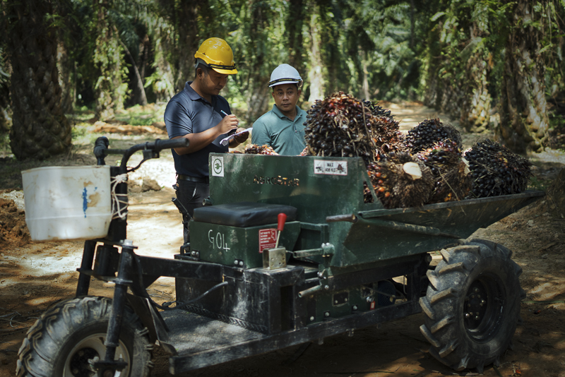
We deliver high-resolution aerial mapping, wide-area canopy documentation, and operational imaging across agricultural estates and commercial plantations throughout Malaysia. Our specialized visual data supports land boundary assessments, estate progress reporting, stakeholder reviews, and commercial agritech presentations.

Estate Audits & Aerial Mobilization
Equipped for remote field deployment across Peninsular and East Malaysia, we provide reliable aerial imaging and commercial documentation tailored for plantation groups, forestry managers, and institutional investors.